Bhojpur (Bhojpur)
Bhojpur is a neighborhood in Bhojpur Municipality which is located in Bhojpur District in Province No. 1 of Nepal. The Bhojpur Village Panchayat was established in 1962 and was renamed as Bhojpur Village development committee in 1990.
On 18 May 2014 the Government of Nepal declared 72 new municipalities within the country. At the same time, Bhojpur Municipality was declared, incorporating Bhojpur, Bhaisipankha, Bokhim and Taksar VDCs. Current wards no. 6, 7, 8 and 9 of Bhojpur Municipality belong to the core Bhojpur area which is the main urbanized settlement of Bhojpur Municipality.
At the time of 1991 Nepal census Bhojpur VDC had a population of 7,446 individuals with 2,070 households. Now the total population of the Bhojpur (2011 Nepal census) is 7,446 spread over 13.45 km2. The headquarter of the Bhojpur District and the Bhojpur Municipality is located at ward no. 7 of the Bhojpur Municipality.
Map - Bhojpur (Bhojpur)
Map


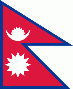
Country - Nepal
 |
 |
| Flag of Nepal | |
The name "Nepal" is first recorded in texts from the Vedic period of the Indian subcontinent, the era in ancient Nepal when Hinduism was founded, the predominant religion of the country. In the middle of the first millennium BC, Gautama Buddha, the founder of Buddhism, was born in Lumbini in southern Nepal. Parts of northern Nepal were intertwined with the culture of Tibet. The centrally located Kathmandu Valley is intertwined with the culture of Indo-Aryans, and was the seat of the prosperous Newar confederacy known as Nepal Mandala. The Himalayan branch of the ancient Silk Road was dominated by the valley's traders. The cosmopolitan region developed distinct traditional art and architecture. By the 18th century, the Gorkha Kingdom achieved the unification of Nepal. The Shah dynasty established the Kingdom of Nepal and later formed an alliance with the British Empire, under its Rana dynasty of premiers. The country was never colonised but served as a buffer state between Imperial China and British India. Parliamentary democracy was introduced in 1951 but was twice suspended by Nepalese monarchs, in 1960 and 2005. The Nepalese Civil War in the 1990s and early 2000s resulted in the establishment of a secular republic in 2008, ending the world's last Hindu monarchy.
Currency / Language
| ISO | Currency | Symbol | Significant figures |
|---|---|---|---|
| NPR | Nepalese rupee | ₨ | 2 |
| ISO | Language |
|---|---|
| EN | English language |
| NE | Nepali language |